Blake Frank · 23 September 2026
Cross-Border Experiments Highlight Progress in Environmental Monitoring Techniques
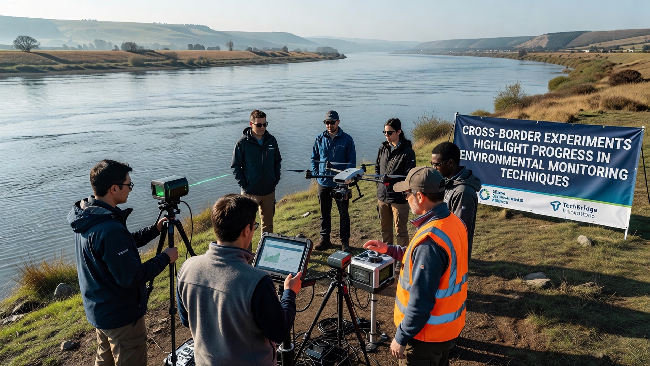
Recent cross-border experiments have demonstrated measurable advances in environmental monitoring through coordinated use of sensor networks, satellite data integration, and standardized data exchange protocols among participating nations. Teams from multiple countries conducted joint field tests that combined real-time air and water quality measurements with automated alerts triggered by threshold exceedances. These trials took place across shared ecosystems including river basins and forested border regions where pollution sources often cross political lines. Data collected during the projects showed improved detection rates for contaminants such as nitrogen oxides and microplastics compared with earlier single-nation efforts. According to reports from the European Environment Agency, harmonized calibration methods reduced measurement discrepancies between instruments operated by different teams to below 5 percent in most cases. Researchers synchronized sampling schedules across time zones while maintaining continuous coverage through overlapping sensor grids.Technological Components in Use
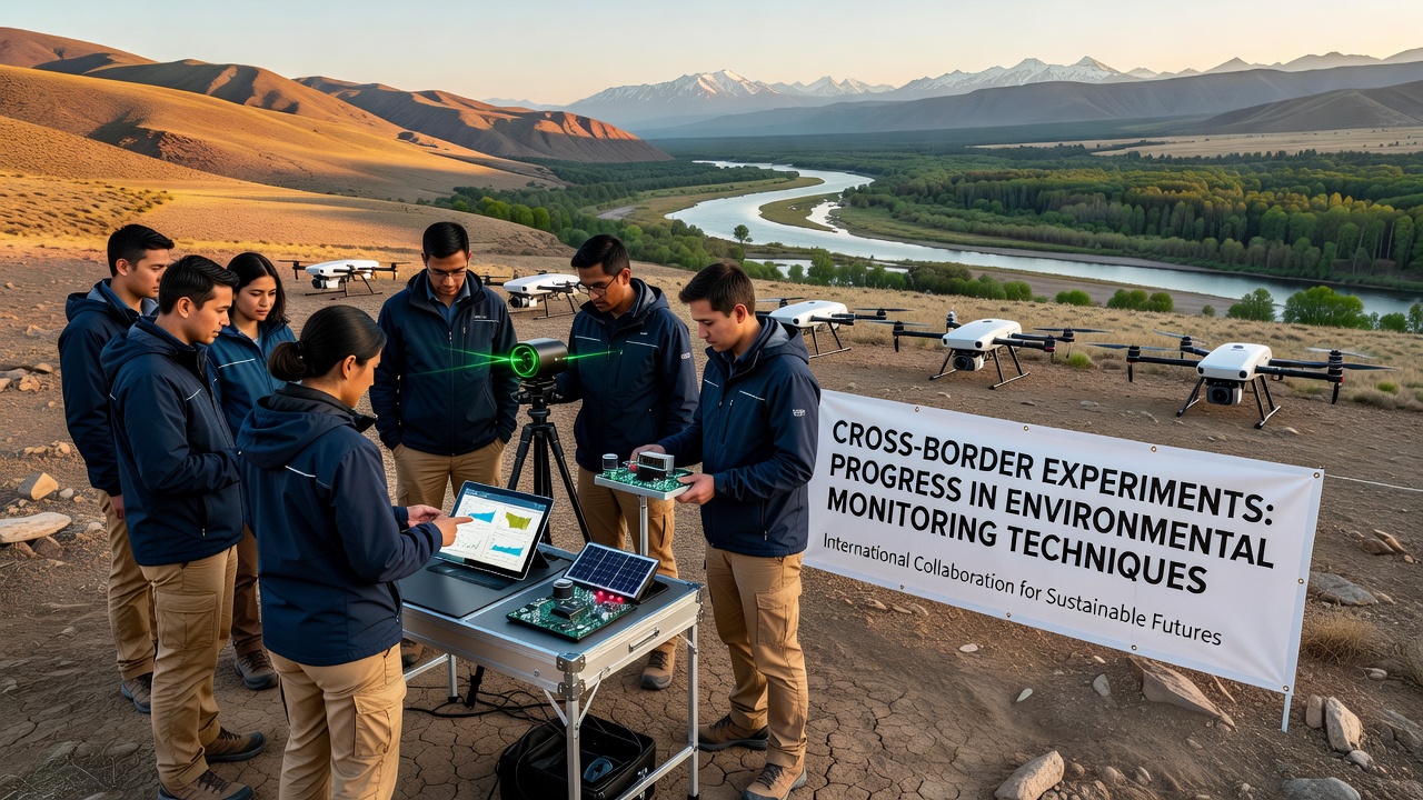
Experiments relied on low-power wide-area networks paired with edge computing devices that processed readings locally before transmission. This setup minimized latency when sending alerts about sudden spikes in particulate matter or changes in water pH levels. Drones equipped with multispectral cameras flew coordinated routes along boundary lines, capturing vegetation health indicators that ground stations later cross-referenced with satellite imagery from agencies including NASA and the European Space Agency.
Software platforms developed for the trials allowed participating laboratories to upload datasets in common formats, enabling rapid comparison of trends across jurisdictions. One study segment focused on a transboundary lake system where automated buoys measured dissolved oxygen and temperature at multiple depths every fifteen minutes. Results indicated that joint analysis identified seasonal stratification patterns more quickly than previous isolated monitoring programs had achieved.
September 2026 Field Deployments
In September 2026 additional phases expanded coverage to include atmospheric deposition monitoring near industrial corridors that straddle national borders. Participants installed upgraded particulate samplers that transmitted hourly averages to a shared cloud repository. Analysis of the first three months of data revealed consistent correlations between emission events on one side of a border and downstream concentration increases on the other, information that individual agencies could not have compiled independently.
Data Sharing and Standardization
Standard operating procedures adopted during the experiments specified quality control checks performed at regular intervals along with documented chain-of-custody records for physical samples. These steps addressed earlier inconsistencies that had limited the usefulness of combined datasets. Government agencies from Canada and Australia contributed reference methods for trace metal analysis that were incorporated into the common protocol set.
Training sessions conducted online and in person ensured field personnel applied identical calibration routines regardless of their home institution. Post-experiment reviews found that inter-laboratory variability dropped further after these sessions, confirming the value of direct knowledge transfer. Archived datasets from the trials remain accessible through institutional portals for secondary research by academic groups.
Observed Outcomes Across Regions
Border regions that previously lacked dense monitoring coverage gained continuous baseline measurements through the shared infrastructure. In one river valley project, joint teams documented a 12 percent reduction in reported response times to pollution incidents after implementing automated cross-border notification systems. Similar patterns emerged in coastal zones where drifting sensors tracked nutrient plumes that originated in one country's waters yet affected another's shellfish beds.
Longer-term records compiled from these experiments support modeling efforts aimed at predicting pollutant transport under varying weather conditions. Climate data agencies have begun incorporating the new boundary-spanning datasets into regional forecasts, noting improved accuracy for events that cross political boundaries. Funding for continued operation of the sensor arrays now comes from multiple national budgets allocated through bilateral agreements.
Conclusion
Cross-border experiments continue to generate comparable datasets that single-country programs could not produce alone. The combination of synchronized hardware, shared software standards, and joint analysis routines has produced clearer pictures of environmental processes operating across political lines. Ongoing trials scheduled through 2027 will test additional sensor types and expand geographic scope while maintaining the same verification procedures already shown to reduce measurement differences. Results from these efforts feed directly into policy evaluations conducted by participating governments and international bodies.